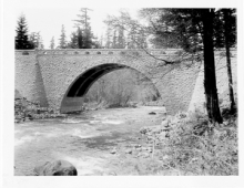
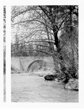
The SOHS Sawyer Collection

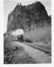
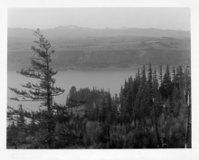
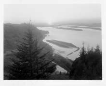
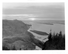
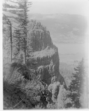
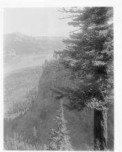
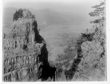
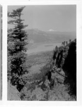
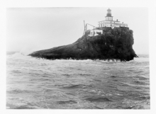
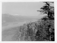
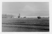
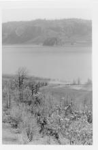
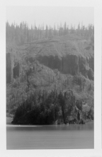
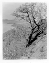
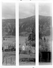
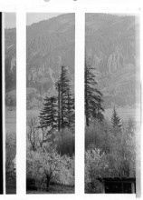
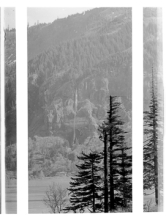
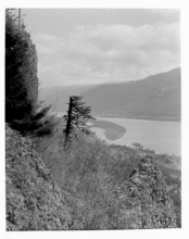
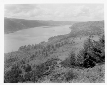
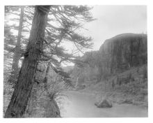
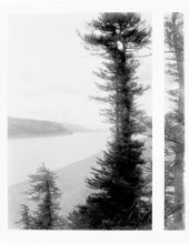
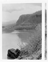
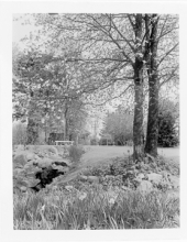
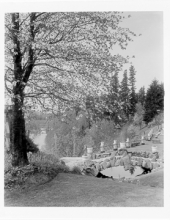
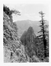
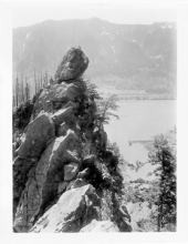
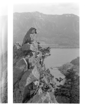
The images presented here are part of a donation we are calling the Sawyer Collection. The images have come from multiple photography studios, some of them unidentified. Most were taken by the Kiser Studio of Portland, Oregon in the 'Teens and early 'Twenties, especially of rugged scenes in Crater Lake and Glacier National Parks and along the Columbia River. A small collection was taken 1905-07 by photographer H. G. Peabody of Massachusetts and Maine urban and coastal scenes. An anonymous collection portrays architectural and rural views taken in Central Mexico in the same era.

The collection was saved and cared for by William Gruber, who had a long working relationship with the Portland photography studio Sawyer Service Inc. Gruber was the inventor of the popular View-Master, which he produced in collaboration with Sawyer’s. According to the donor, in 1939 Sawyer’s was poised to dispose of these glass plate negatives in order to focus on the View-Master, when Gruber offered to take the plates. Over the past eight decades, the Gruber family has meticulously maintained the collection of approximately 3,000 plates, weighing roughly half a ton. Southern Oregon Historical Society received the plates as a donation in 2019, and has made them publicly available with additional grant funding from Oregon Parks and Recreation and the Oregon Cultural Trust.

 SAWYER COLLECTION INDEX        WILLIAM GRUBER       WHEN THE COLLECTION ARRIVED AT SOHS     

Displaying 401 - 450 of 2354
Keyword Search
Search by Sawyer Number (use only the number)
Title
SWY462

Mt Hamilton from Castle Rock

SWY463

Sunset from Summit of Castle Rock

SWY464

Moffett Creek Bridge on the Columbia River Highway.

SWY465

Eagle Creek Bridge on Columbia River Highway near Bonneville.

SWY466

Eagle Creek Bridge (Upright)

SWY467

Tanner Creek Bridge, Columbia River Highway.

SWY468

Pierce Creek Bridge Showing Mt Hamilton, Columbia River Highway.

SWY469

St Peters Dome (Close Up)

SWY470

St Peters Dome showing party of men with Columbia River in the background.

SWY471

St Peters Dome from Castle Rock

SWY472

St Peters Dome from Castle Rock

SWY473

Looking West from St Peters Dome

SWY474

St Peters Dome Party

SWY475

Mt Hood from Hood River Valley

SWY476

Mt Hood from Hood River Valley, from Coopers

SWY477

Mt Hood Showing Hood River

SWY478

Mt Hood from Peters Ranch, Hood River Valley

SWY479

Apple Blossoms, Hood River

SWY480

Apple Blossoms, Hood River

SWY481

Apple Blossoms, Hood River

SWY482

Apple Blossoms, Hood River

SWY483

Apple Blossoms & Owl

SWY484

Apple Blossoms, Hood River

SWY485

Mitchell Point, Columbia River Highway. View shows entrance to tunnel, as Mitchell Point is several miles west of Hood River.

SWY486

Mitchell Point Tunnel, looking out of window north of loward White Salmon. 

SWY487

Eureka Tobacco Plains Valley, Montana

SWY488

Eureka Lumber Co. Log Drive

SWY489

Eureka Lumber Co. Pine Trees

SWY490

Eureka Lumber Co. Pine Trees

SWY491

Eureka Lumber Co. Pine Trees Against Light

SWY492

Eureka Lumber Co. Pine Trees

SWY493

Eureka Lumber Co. Group of Workmen

SWY494

Eureka Lumber Co. Plant

SWY495

Eureka Lumber Co. Plant

SWY496

Eureka Lumber Co. Electric Poles

SWY497

Eureka Lumber Co. Electric Plant

SWY498

Eureka Lumber Co. Plant from Log Pond

SWY499

Eureka Lumber Co. Loading Sheds

SWY500

Eureka Lumber Co. Mr. Neil

SWY501

Eureka Lumber Co. Looking North--Nangle

SWY502

Eureka Lumber Co. Planer--Telephoto

SWY503

Eureka Lumber Co. Power Plant

SWY504

Eureka Lumber Co. Power Plant & Planer

SWY505

School Drill on Field

SWY559

Mt Hood from Larch Mountain Below Summit

SWY560

Mt Hood from Larch Mountain

SWY561

Mt Hood from Larch Mountain

SWY562

Mt Hood, Sunrise from Larch Mountain

SWY563

Sunrise from Larch Mountain

SWY564

Cabin, Summit of Larch Mountain. A fire lookout in background?