| SWY0311 |
|
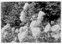
Roses, close
|
| SWY0312 |
|
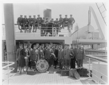
Oregon Agricultural College Band on Shipboard
|
| SWY0313 |
|
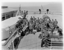
Oregon Agricultural College Band on Shipboard
|
| SWY0314 |
|
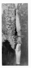
Multnomah Falls
|
| SWY0321 |
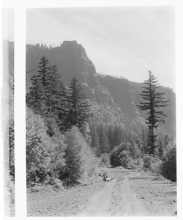
|
graded road in the Columbia River Gorge, Oregon side
|
| SWY0322 |
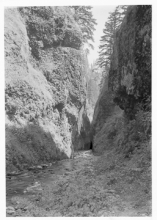
|
Oneonta Gorge near the Columbia River Highway.
|
| SWY0323 |
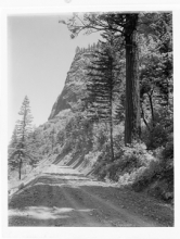
|
Graded width of original Columbia River Highway, eastern Multnomah County or western Hood River County.
|
| SWY0324 |
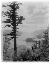
|
Columbia River, as seen from the Oregon side, probably Crown Point looking east.
|
| SWY0325 |
|
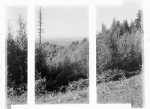
Likely a coastal scene, probably Clatsop County given the estimated date.
|
| SWY0326 |
|
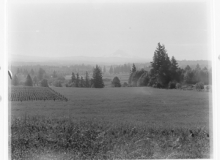
Fields, trees in the Willamette Valley.
|
| SWY0327 |
|
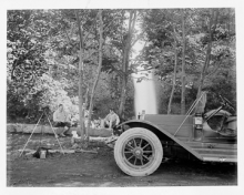
Two men seated, tripod, car, waterfall in background. Early camp along the Columbia River Highway, probably at Eagle Creek (the first USFS campground).
|
| SWY0328 |
|
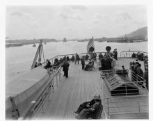
People on deck of a ferry or ship, on river or inlet - land in background. Passenger ship on the Columbia River near the Interstate Bridge (Portland to Vancouver).
|
| SWY0329 |
|
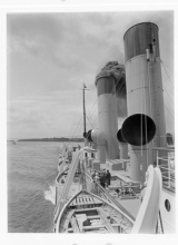
Ship smokestacks and lifeboats; passenger vessel on the Columbia River.
|
| SWY0330 |
|
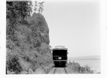
Rear of SPand S Train and Pyramid Rock, lower Columbia River, Oregon.
|
| SWY0331 |
|
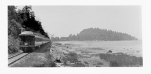
Approaching train on tracks next to Columbia River near Astoria, with Tongue Point in the distance.
|
| SWY0332 |
|
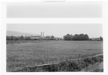
Westport, SPand S Railway. Mill is near the Columbia River, Clatsop County, Oregon.
|
| SWY0333 |
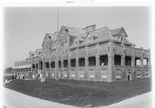
|
Gearhart Hotel
|
| SWY0334 |
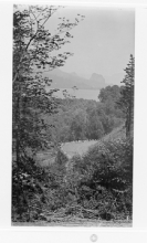
|
A Glimpse of the Columbia River Highway from Gordon Falls.
|
| SWY0335 |
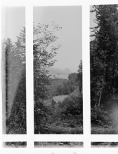
|
Trees, road, lake (similar view to 334).
|
| SWY0336 |
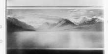
|
Lake, mountains, sky scene at Glacier National Park, Montana.
|
| SWY0337 |
|
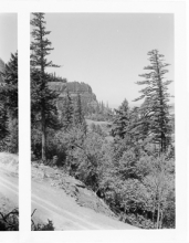
East Side of Crown Point, Columbia River Highway
|
| SWY0338 |
|
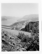
Looking Upriver from Crown Point, Columbia River Highway
|
| SWY0339 |
|
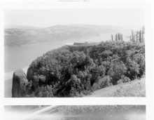
Crown Point & Columbia River, Columbia River Highway
|
| SWY0340 |
|
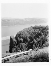
Crown Point, with Columbia River behind it, Multnomah County, Oregon.
|
| SWY0341 |
|
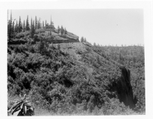
Small hotel located at Crown Point, Multnomah County, Oregon, along the Columbia River Highway.
|
| SWY0342 |
|
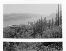
Crown Point
|
| SWY0343 |
|
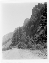
Columbia River Highway near Horsetail Falls, note concrete bridge.
|
| SWY0344 |
|
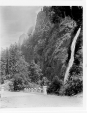
Horse Tail Falls on Columbia River Highway
|
| SWY0345 |
|
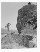
Point near Shepherds Dell, Columbia River Highway; note height of retaining wall.
|
| SWY0346 |
|
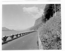
Columbia River Highway near Multnomah Falls, at its original surfaced and paved width.
|
| SWY0347 |
|
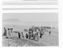
Kappa Alpha Theta on beach showing surf by near Seaside and looking south to Tillamook Head.
|
| SWY0348 |
|
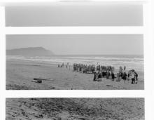
Kappa Alpha Theta on shoreline, near Tillamook Head at Seaside.
|
| SWY0349 |
|
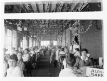
Kappa Alpha Theta, Dining Room, Gearhart Hotel
|
| SWY0350 |
|
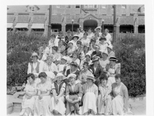
Kappa Alpha Theta, Portland Chapter Alpha XI, at the Gearhart Hotel.
|
| SWY0351 |
|
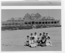
Kappa Alpha Theta, P.S.I. Chapter, at the Gearhart Hotel.
|
| SWY0352 |
|
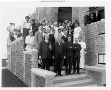
Gearhart Hotel Group
|
| SWY0353 |
|
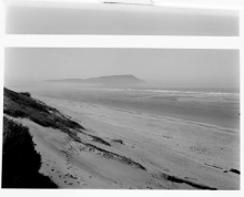
Tillamook Head, Gearhart Beach
|
| SWY0354 |
|
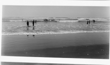
Surf Bathing, Gearhart Beach
|
| SWY0355 |
|
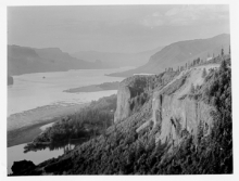
Crown Point Showing Chalet--circa 1916
|
| SWY0356 |
|
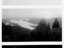
Sunset from Coopeys Point, Columbia Highway
|
| SWY0357 |
|
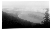
Above the Fog Banks from Coopeys Point, Columbia Highway
|
| SWY0358 |
|
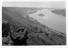
Looking Downriver from Angels Rest, Columbia Highway
|
| SWY0359 |
|
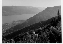
Angels Rest from Coopeys Point, Columbia River Highway
|
| SWY0360 |
|
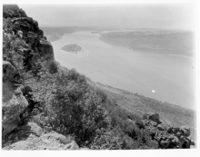
Down the Columbia River from Angels Rest
|
| SWY0361 |
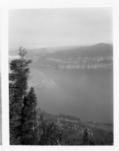
|
Cape Horn (Washington) and Columbia River from Coopeys Point, Columbia River Highway.
|
| SWY0362 |
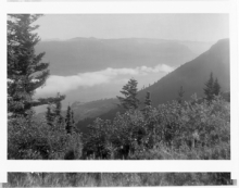
|
Angels Rest and Columbia River from Coopeys Point
|
| SWY0363 |
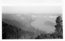
|
Downriver from Coopeys Point, Columbia River Highway
|
| SWY0364 |
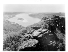
|
Summit of Angels Rest and Columbia River
|
| SWY0365 |
|
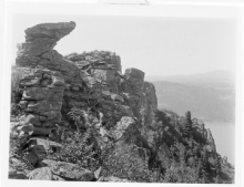
Summit of Angels Rest
|
| SWY0366 |
|
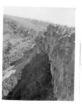
Rock Formation, Angels Rest, Columbia River Highway
|


