| SWY1194 |
|
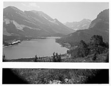
Glacier National Park--Many Glacier Camp Showing Hotel, Lake and Mountain from McDermitt Peak (Wide Angle Lens)
|
| SWY1195 |
|
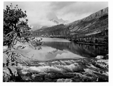
Glacier National Park--Many Glacier Camp, Mt Wilbur and Lake McDermitt
|
| SWY1196 |

|
Glacier National Park--Many Glacier Camp, Mt Wilbur
|
| SWY1197 |
|
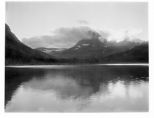
Glacier National Park--Many Glacier Camp, Sunset from Hotel Showing Mt Wilbur
|
| SWY1198 |
|
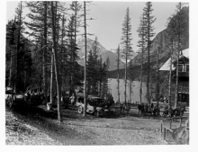
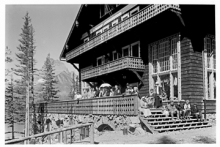
Glacier National Park--Many Glacier Hotel, Showing Horseback Parties Starting Out
|
| SWY1199 |
|
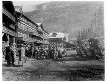
Glacier National Park--Many Glacier Hotel, Showing End and Crowd
|
| SWY1200 |
|
Glacier National Park--Many Glacier Camp, Hotel and Crowds of People
|
| SWY1201 |
|
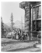
Glacier National Park--Many Glacier Camp, Lenhart Party
|
| SWY1202 |
|
Metolius Hotel--Metolius, Oregon
|
| SWY1203 |

|
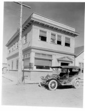
Metolius State Bank--Metolius, Oregon
|
| SWY1204 |
|
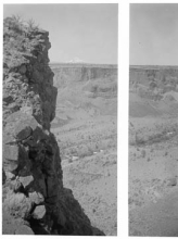
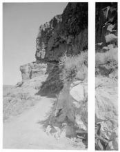
Metolius--Down Crooked River Canyon
|
| SWY1205 |
|
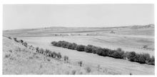
Metolius--Looking Down Crooked River Canyon Showing the Cove Ranch About 7 Miles West of Metolius
|
| SWY1206 |
|
Metolius--Fishermen Camping in the Crooked River Canyon About 7 Miles West of Metolius
|
| SWY1207 |
|
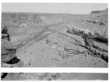
Metolius--Wagon Roads Along Crooked River Canyon
|
| SWY1208 |
|
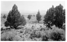
Lamonta, Oregon-Culver Dry Farming Country 14 Miles East of Metolius
|
| SWY1209 |
|
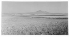
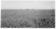
Culver, Oregon--Wheat Field (Shocked) Showing Three Sisters Just West of Culver
|
| SWY1210 |
|
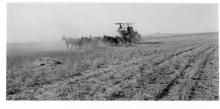
Culver, Oregon--Combined Harvester, Rodman Ranch near Culver
|
| SWY1211 |
|
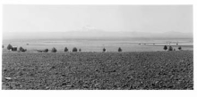
Culver, Oregon--Dry Farming Country 2½ Miles Southeast of Culver Showing Mt Jefferson
|
| SWY1212 |
|
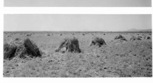
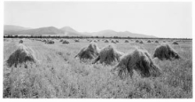
Culver, Oregon--Stacks of Wheat, Dry Farm Just West of Culver
|
| SWY1213 |
|
Culver, Oregon--Stacks of Grain near Culver
|
| SWY1214 |
|
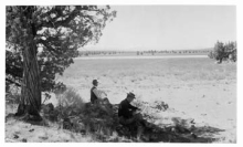
Grizzly Butte Country, Oregon, North Side of Butte--Dry Farming, Morrow and Keenan Ranch, Owners of 16,000 Acres
|
| SWY1216 |
|
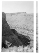
Grizzly Butte Country, Oregon, North Side of Butte--Panorama, Looking Northeast from Morrow and Keenan Ranch
|
| SWY1217 |

|
Grizzly Butte Country, Oregon, North Side of Butte--Dry Farms
|
| SWY1219 |
|
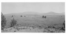
Powell Butte General View About 17 Miles Northeast of Bend, Oregon
|
| SWY1220 |
|
Pilot Butte General View About 17 Miles Northeast of Bend, Oregon
|
| SWY1221 |
|
Pilot Butte General View About 15 Miles Northeast of Bend, Oregon
|
| SWY1222 |
|
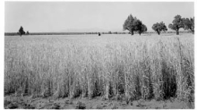
Powell Butte, Oregon--Shocked Oats and Pilot Butte
|
| SWY1223 |
|
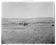
Pilot Butte, Oregon--Farm of E. A. Bussett--Garden, House, Barn, etc.
|
| SWY1224 |
|
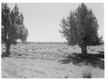
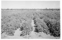
Pilot Butte, Oregon--Alfalfa, Second Crop--E. A. Bussett--Irrigated
|
| SWY1225 |
|
Powell Butte, Oregon Wheat Field--E. A. Bussett--Irrigated
|
| SWY1227 |
|
Powell Butte, Oregon Onion Field--George Beckman Ranch
|
| SWY1228 |

|
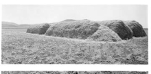
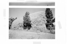
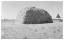
The Sisters, Oregon--Clover Hay Stack, C. L. Johnson Ranch
|
| SWY1229 |
|
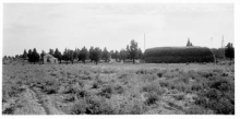
The Sisters Country, Oregon--Alfalfa Hay Stack, 80 Tons--Fred Wiese Ranch 15 Miles from Redmond, 5 Miles from Sisters
|
| SWY1230 |
|
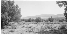
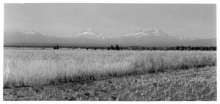
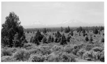
The Sisters, Oregon--Overlooking Farming Country Showing the Three Sisters About 8 Miles East from the Town of Sisters
|
| SWY1231 |
|
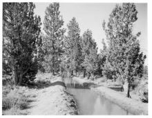
The Sisters, Oregon--Squaw Creek Irrigation Ditch
|
| SWY1232 |
|
The Sisters, Oregon--G. G. Gerking Ranch 3 Miles North of Laidlaw--Hay Stack, 100 Tons
|
| SWY1233 |
|
The Three Sisters from near Road Between Redmond, Oregon and The Sisters
|
| SWY1234 |
|
Redmond, Oregon--Bank
|
| SWY1235 |
|
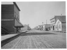
Redmond, Oregon--Main Street
|
| SWY1236 |
|
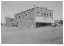
Redmond, Oregon--Store, Church etc.
|
| SWY1237 |
|
Redmond, Oregon--Alfalfa Hay Stack 3 Miles Southwest from Redmond, R. D. Chesley Ranch, Pleasant Valley
|
| SWY1238 |
|
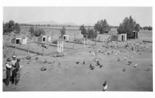
Redmond, Oregon--Chicken Ranch, F. G. Bancroft
|
| SWY1239 |
|
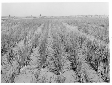
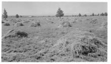
Redmond, Oregon--Alfalfa, Second Cutting, Shocked--C. D. Jarrett Ranch 2½ Miles Southwest of Redmond
|
| SWY1240 |
|
Redmond, Oregon--Alfalfa, Second Cutting, Shocked--C. D. Jarrett Ranch 2½ Miles Southwest of Redmond
|
| SWY1241 |
|
Redmond, Oregon--Alfalfa and Grain Fields, Low Smith Ranch, 4 Miles West of Redmond
|
| SWY1242 |
|
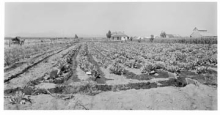
Redmond, Oregon--Potato Field 2 Mile West of Redmond
|
| SWY1243 |
|
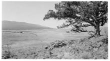
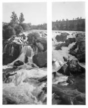
Redmond, Oregon--Cline Falls, Deschute River Ranch
|
| SWY1244 |
|
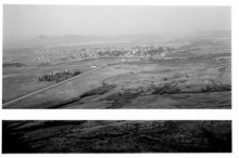
Redmond, Oregon--Town from Butte, Washington
|
| SWY1245 |
|
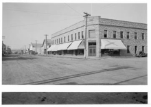
Prineville, Oregon--Hotel Prineville and Main Street
|
| SWY1246 |
|
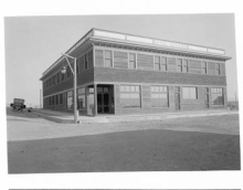
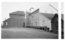
Prineville, Oregon--Flouring Mill
|