The SOHS Library is OPEN to the public at 106 N. Central Avenue in Medford, with FREE access to the SOHS Archives, from 12:00 - 4:00 pm, Tuesday through Saturday. Appointments are not necessary. Please contact library@sohs.org, or call 541-622-2025 ex 200 to ask questions or request research.


The SOHS Sawyer Collection

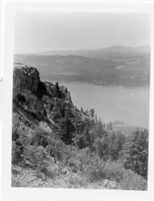
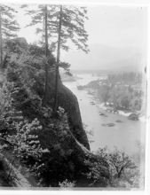
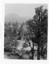
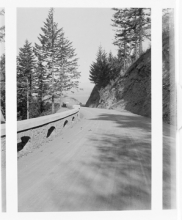
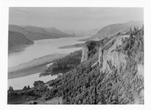
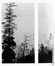
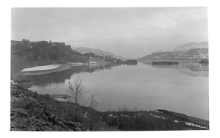
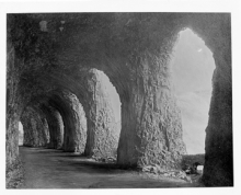
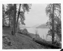
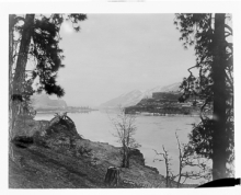
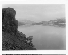
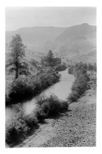
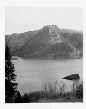
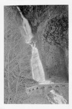
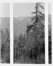
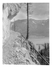
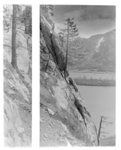
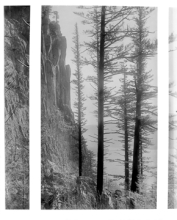
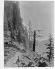
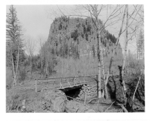
The images presented here are part of a donation we are calling the Sawyer Collection. The images have come from multiple photography studios, some of them unidentified. Most were taken by the Kiser Studio of Portland, Oregon in the 'Teens and early 'Twenties, especially of rugged scenes in Crater Lake and Glacier National Parks and along the Columbia River. A small collection was taken 1905-07 by photographer H. G. Peabody of Massachusetts and Maine urban and coastal scenes. An anonymous collection portrays architectural and rural views taken in Central Mexico in the same era.

The collection was saved and cared for by William Gruber, who had a long working relationship with the Portland photography studio Sawyer Service Inc. Gruber was the inventor of the popular View-Master, which he produced in collaboration with Sawyer’s. According to the donor, in 1939 Sawyer’s was poised to dispose of these glass plate negatives in order to focus on the View-Master, when Gruber offered to take the plates. Over the past eight decades, the Gruber family has meticulously maintained the collection of approximately 3,000 plates, weighing roughly half a ton. Southern Oregon Historical Society received the plates as a donation in 2019, and has made them publicly available with additional grant funding from Oregon Parks and Recreation and the Oregon Cultural Trust.

 SAWYER COLLECTION INDEX        WILLIAM GRUBER       WHEN THE COLLECTION ARRIVED AT SOHS     

Displaying 351 - 400 of 2802
Keyword Search
Search by Sawyer Number (use only the number)
Title
SWY0367

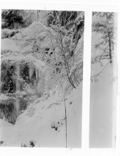
Snow and ice from Summit of Angels Rest.
SWY0368

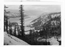
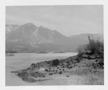
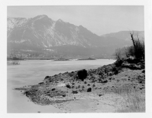
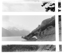
Columbia River from a point near Hood River on the Columbia River Highway.

SWY0369

Columbia Highway near Bonneville

SWY370

Table Mountain Across from Columbia Highway near Bonneville

SWY371

Columbia River from Highway near Eagle Creek

SWY372

Moffett Creek Bridge, Columbia Highway

SWY373

Heavens Peak from Granite Park, Glacier National Park

SWY374

Up the Columbia from Cape Horn

SWY375

Columbia Highway near Crown Point

SWY376

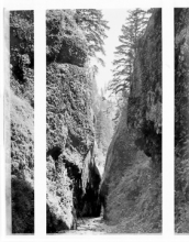
Oneonta Gorge

SWY377

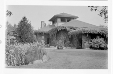
Crematorium

SWY378

Unlabeled

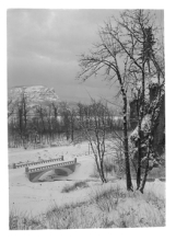
SWY379

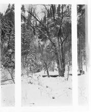
Benson Park, Winter, Columbia River Highway

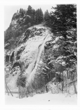
SWY380

Horse Tail Falls, Winter, Columbia River Highway

SWY381
SWY382

Columbia Highway in Winter near Multmonah Falls

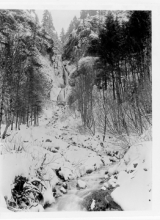
SWY383

Wahkeena Falls, Winter, Columbia Highway

SWY384

Cloud Cap Inn Trip 1916, Winter

SWY385

Crown Point & Vista House, Columbia River Highway

SWY386

Columbia River & Mount St. Helens
SWY387

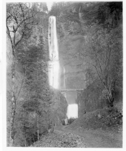
The Columbia near Memaloose Island

SWY388

Tunnel, Mitchell Point, Columbia River Highway

SWY389

Up the Columbia near Memaloose Island

SWY390

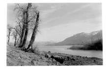
Columbia River near Lyle

SWY391
SWY392

Warm Springs River, Warm Springs Indian Reservation

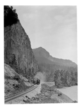
SWY393

Castle Rock and SP&S Train

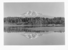
SWY394

Mt Adams from Trout Lake

SWY395

Castle Rock and SP&S Train

SWY396

Looking up the Columbia River from Rand, Wind Mountain in Distance

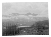
SWY397

Mountains at Cascades, Columbia River

SWY398

Looking Down the Cascades of the Columbia River

SWY399

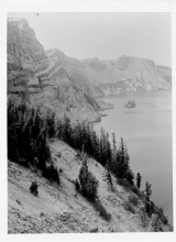
Dutton Cliff, Crater Lake

SWY400

Down the Cascades of the Columbia River

SWY401

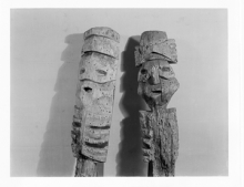
Castle Rock Totems

SWY402

Mitchells Point, Columbia River

SWY403

Mitchells Point, Showing SP&S Railway

SWY404

Mitchells Point, Steamboat

SWY405

Mitchells Point, Columbia River

SWY406

Mitchells Point

SWY407

SP&S Train near Cook, Washington

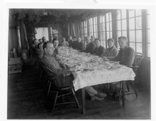
SWY408

Multnomah Falls Showing National Hotel Men's Association Group

SWY409

Looking up the Columbia from Mist Falls

SWY410

Wahkeena Falls

SWY411

Multnomah Falls as Seen from Archer Mountain

SWY412

Castle Rock Showing Half Tunnel on Trail

SWY413

Castle Rock Climbing

SWY414

Castle Rock Showing Cliffs on South Side

SWY415

Castle Rock showing section of new trail, as part of project on the Columbia River Highway to build a tunnel on Mitchell Point.
SWY416

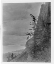
Castle Rock showing north side from county road.